 geocatalogue.geoportail.lu
Keyword
rebuilding, residential land
Type of resources
Available actions
Keywords
Provided by
Groups
Representation types
Update frequencies
status
Scale
From
1
-
1
/
1
-
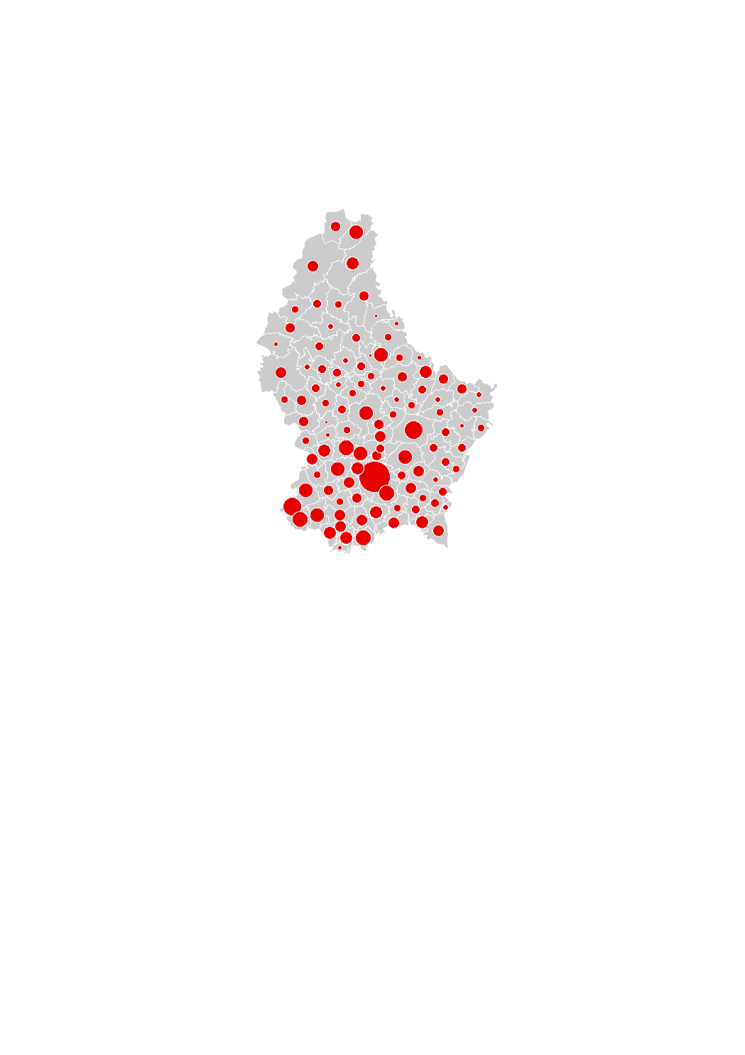
The land area in which rebuilding occurred corresponds to the land plots on which a building existing in 2010 was demolished and replaced by a new building by 2016 (regardless of whether it includes dwellings or not), within the residential and the mixed-used areas in the municipalities' general land use plans (PAG). These areas were captured by comparing the orthophoto-images. The data sources are the digitalized cadastral parcels and the orthophoto-images from the "Administration du Cadastre et de la Topographie", as well as the PAG of the municipalities.